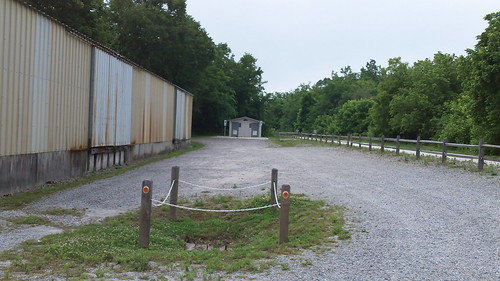
On Friday, Dynamo and I took off from work and ventured to the Farmville area to try out High Bridge State Park. We had heard that the bridge was finally complete on this new rails to trails route, so we decided to make a day of it and set out to bike.
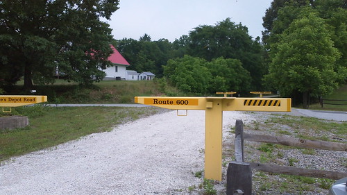
We started about 6 miles into the trail at Rice's Depot, which is a small quiet little town off of Route 460.
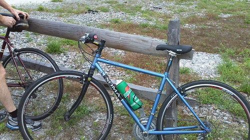
There was a nice parking area with bathrooms. So, we hopped on the trail and headed for the main attraction - the bridge!
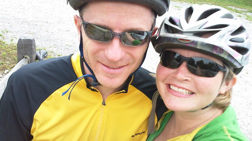
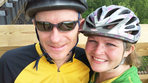
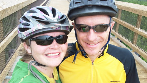
Of course we had to take our self photo before taking off!
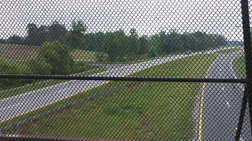
Shortly after the start, we crossed over 460.
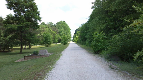
The packed limestone trail was straight as can be. It went out as far as the eye could see.
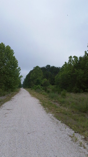
There wasn't a lot to see, but the main attraction was worth the trip. We aproached the High Bridge about 3 miles into the ride.
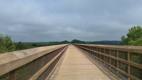
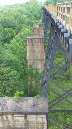
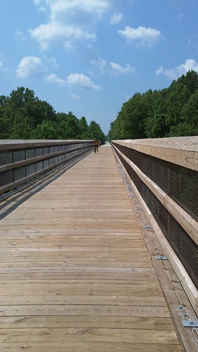
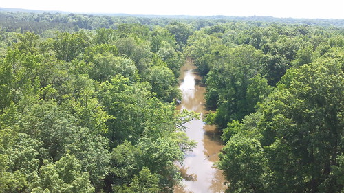
Amazing! Standing 125 feet above the Appomattox River, this bridge formerly held trains and the structure had boards from 1914 that were replaced by custom made wood.
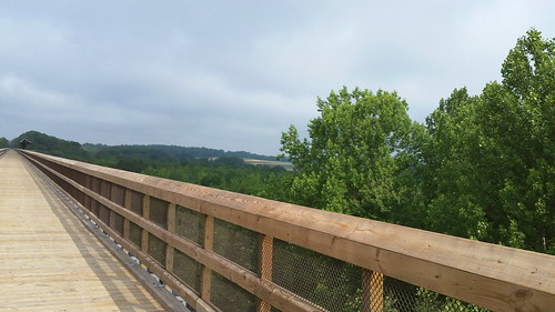
We stopped to take some pictures and marvel at the view from atop the world!
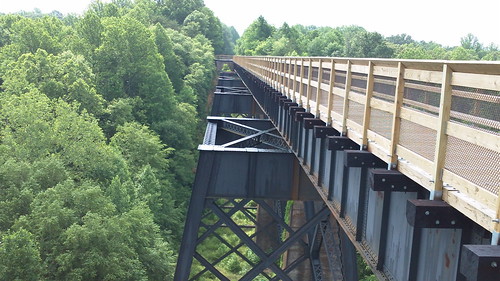
The river below is currently unreachable from the bridge; however, we were told that there is an effort to acquire 16 acres for a kayak/canoe put in.
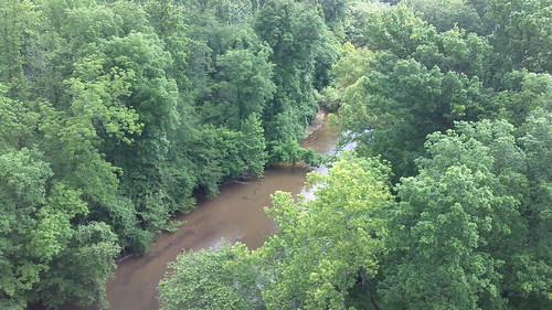
Does this make your tummy dance?
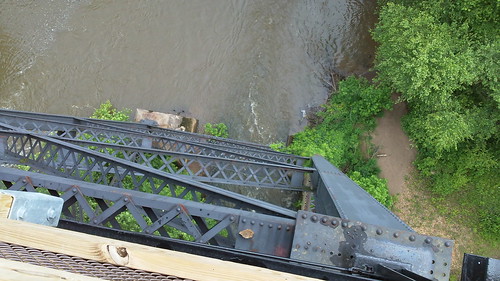
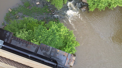
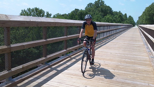
It was so neat to be up high with only our bikes!
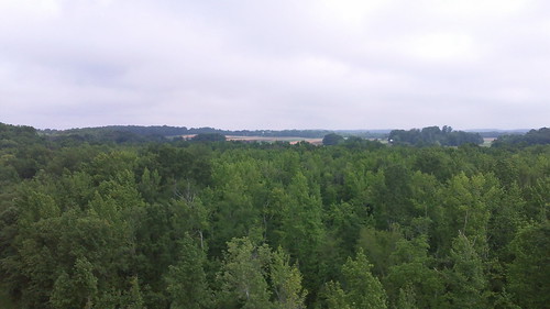
I tried to snap our picture with a little background, but I managed yet again to cut some of Dynamo's head off!
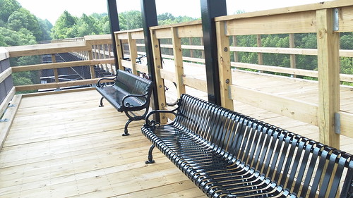
The bridge was so new you could still see the pencil markings on the wood. There was a nice place to sit and relax!
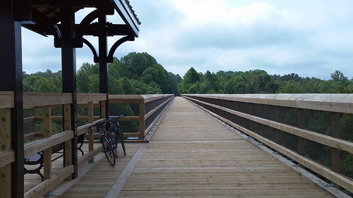
When you look at the bridge it's like a bridge to nowhere. You can't even see the end in these pics can you?
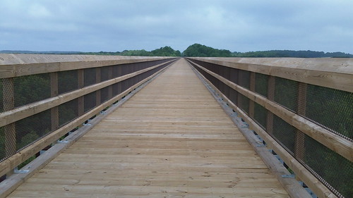
What an engineering marvel!
We continued on for another 5 miles until we came upon a bridge that lead us to the Town of Farmville!

Running right through the middle of Town was the route!
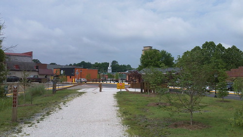
This is the major entrance for visitors to the Park.
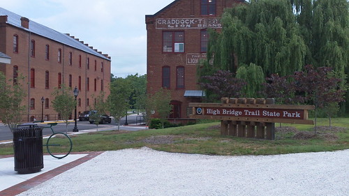
Isn't this great?
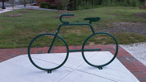
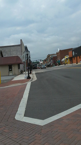
Town was a busy place!
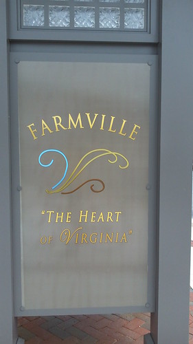
Most people come to see the bridge. We planned to ride from Rice to the end of the trail and back. From the Town of Farmville we rode out 12 miles through the Towns of Prospect and Tuggle.
Leaving Town were old buildings...
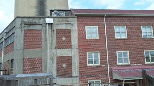
Farmville has really changed since I last visited. It seems to be a bustling little place!
We saw some farmland...
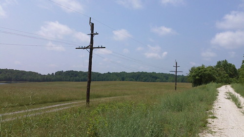
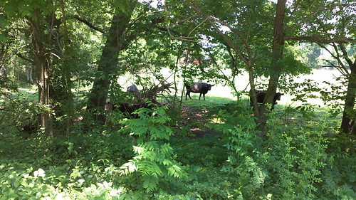
Including some cows...
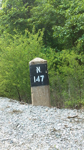
The railroad markers are what the Park guide uses to mark points on the map.
We saw a snake slither across the road. It was too fast for the camera. We also saw a groundhog! I tried to whistle to make him come back for a photo opp!
After we rode to the 20 mile mark we decided to turn around. We were getting low on water. They said there wasn't any water available on the route, but I guess I figured we could get some as we went through the towns. I was wrong. There was nothing.
On the way back we stopped and ate at the little Bakery in Town. Lunch was sure yummy! Before heading back to finish our last 8 miles, we stopped at a convenience store in town to refuel on water.
Back at the bridge we stopped and rested.
By now it was really hot!
The water rushed below!

We stopped and chatted with another couple. They told us about several rails to trails that they had ventured to. We learned so much just chatting.
When we got back to the car we had traveled 40 miles! Not bad! We had a great time and encountered only one dog, who was friendly after he checked us out.
It was an enjoyable day for us together. I think it would be a great route for training to get some long miles in. The entire trail is 31 miles long. So, out and back could get you 62 miles. The packed limestone is a good surface. It's not as easy as road riding, but the grade of the trail makes it so all types of riders can ride even if it's only small portions. Check it out if you have the chance.


No comments:
Post a Comment